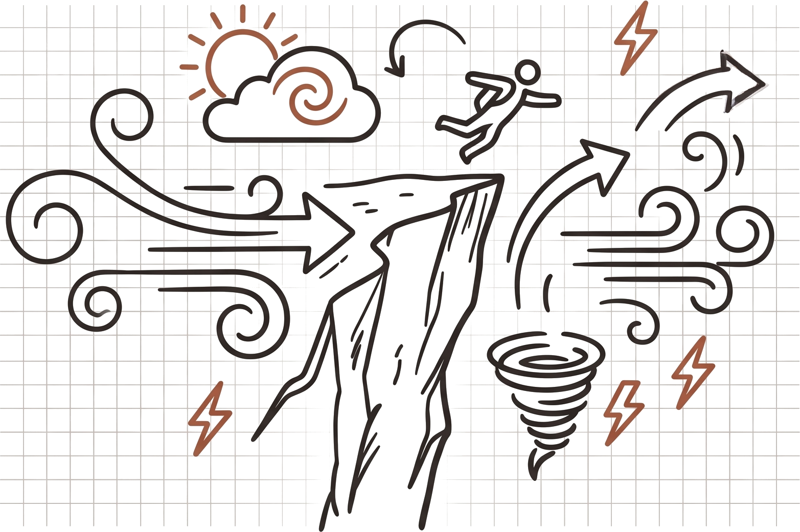
Weather fundamentals for BASE Jumpers
Weather fundamentals for BASE jumpers describe how atmospheric conditions at the exit point shape every phase of a jump, from the launch to the landing.
BASE compresses the whole flight into seconds. That makes the atmosphere more decisive than in any other air sport.
The air at the exit shapes the launch, the opening, the track, and the landing. A forecast gives the regional picture. It cannot see the cliff face, the rocky slope below it, or the canyon funneling wind between walls.
“A cliff exit on a crisp morning. The weather app shows a 5 mph crosswind. But at the edge, the grass in the landing area bends hard sideways. The trees behind the exit thrash in a completely different direction. The forecast and the conditions at the rock face don't match. Local heating and terrain shape are rewriting the air. That gap is where off-heading openings and unstable flights or loss of speed come from.”
Unlike other air sports, BASE jumpers need to know the conditions before they leave the exit so understanding the weather is paramount.
- Macro models look at the region from thousands of feet up. They can't see the cliff face, the rocky slope below it, or the canyon funneling wind. Cross-reference the forecast with what the exit shows and feels like.
- Sudden, unexpected shifts in wind direction, dust devils, or erratic tree line movement mean conditions are changing.
- A cap cloud forming fast over a peak, or a sudden temperature drop, signals a shifting pressure system. If conditions change while gearing up, stop.